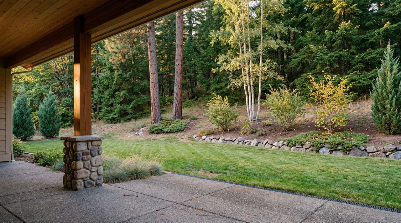
The gravel pullout where the Kim Williams Trail follows the old Milwaukee Railroad grade, a mile east of the university, has had a steady stream of evening traffic this week. Runners, dog walkers, a few mountain bikers heading somewhere else. Most of them pulled up the news on their phones before lacing up, saw that Missoula County and the City of Missoula lifted Stage II fire restrictions on Aug. 19, and figured that settled it. Campfire ban lifted, fire danger down a notch, go enjoy the canyon.
It settled the rules for only part of the trail.
What actually changed on Aug. 19
Missoula County's fire protection officials moved the danger rating from "very high" to "high" that Wednesday, citing rounds of rain and cooler temperatures that had rolled through the valley. Missoula Fire Department Assistant Chief Philip Keating put it plainly at the time, saying recent moisture had reduced fire danger enough to allow the shift from very high to high. That drop triggered the removal of Stage II restrictions on state and private land across most of Missoula County, along with city open space and conservation lands, which had been in place since Aug. 7.
Stage II is the stricter of Montana's two fire restriction tiers. While it's active, campfires are banned outright, smoking is limited to enclosed vehicles, buildings, developed recreation sites, or a cleared patch of ground at least three feet across, and motorized equipment like chainsaws has to run with a spark arrestor and stay on designated roads. Lifting it means campfires are legal again on the land it covers, though officials have been careful to note that outdoor burning stays closed for the season regardless, and dry grass along the valley floor can still catch with almost no warning.
That's the part everyone read. Here's the part that didn't make the headline: Lolo National Forest was explicitly carved out of the Aug. 19 announcement and remains under Stage II restrictions right now.
Why that carve-out actually matters if you live near this canyon
Hellgate Canyon Trail starts as an easy stretch of old railroad grade off the Kim Williams Trail, then climbs through a series of switchbacks up what's known locally as the Hellgate Canyon burn, gaining views of the Clark Fork River and the valley floor as it goes. Depending on which map you check, it runs somewhere between 2.3 and 3 miles one way, a discrepancy that comes down to where each source decides the trail actually begins. It ends at Mount Sentinel, or continues past it into Pattee Canyon, depending on how far you want to walk.
That upper stretch, which climbs into Pattee Canyon, sits on Lolo National Forest land. And Lolo National Forest didn't lift anything on Aug. 19.
So a single connected trail, one that a lot of Canyon River households treat as the closest quiet alternative to the crowded M Trail across the valley, currently has two different rule sets running along its length depending on which agency owns the ground under your feet.
| Trail segment | Who manages it | Fire restriction status, week of Aug. 24, 2026 |
|---|---|---|
| Kim Williams Trail, from the Clark Fork Natural Area to the Hellgate Canyon trailhead | City of Missoula open space and conservation lands | Stage II lifted Aug. 19 |
| The switchback climb through the burn and into Pattee Canyon | Lolo National Forest | Stage II still in effect |
Practically, that means the flat riverside walk along the Clark Fork is running under the relaxed rules. The moment you start climbing into the burn and the trail crosses into forest land, you're back under the tighter restrictions, whether or not the trailhead sign got updated.
What Stage II still bans, in plain terms
For the Pattee Canyon stretch of the trail, and for Lolo National Forest generally, the current rules prohibit:
- Building, maintaining, or using a campfire of any kind
- Smoking outside of an enclosed vehicle, a building, a developed recreation site, or a cleared three-foot area
- Operating motorized vehicles or equipment off designated roads and trails
- Welding, open flame work, or use of explosives
None of that is new information if you've lived through a Montana fire season before. What's easy to miss is that it still applies to the upper portion of a trail you might assume is covered by last week's good news, simply because the trailhead you parked at is on city land.
The smoke is worth a check too
Fire restrictions aren't the only variable moving this week. Missoula County has also been tracking wildfire smoke drifting in from fires burning in Idaho and Oregon, with air quality shifting between moderate and unhealthy depending on the day and the wind. If you're planning an evening run on the canyon climb rather than a flat stroll along the river, it's worth a quick look at current conditions before you go, especially since the switchback section is the part of the trail with the least airflow and the most exertion.
How to actually check before you head out
Missoula County's own guidance on this is straightforward: always verify current restrictions at MTFireinfo.org rather than assuming a countywide announcement covers every parcel you'll cross. It's a multi-agency tool built for exactly this situation, where county, city, state, and federal land can all sit within a few hundred yards of each other and each answer to a different fire authority. The City of Missoula's restrictions page is also useful if you want the plain-language breakdown of what each stage actually restricts, since the wording differs slightly between agencies.
Why this is the trail worth knowing
None of this is a reason to skip the canyon. If anything, Hellgate Canyon Trail is the one worth having in rotation precisely because it isn't the M Trail. Mount Sentinel's concrete M, poured in 1909 and visible from most of the valley, draws a steady crowd on the direct switchback route up the mountain's western face. The Hellgate Canyon approach comes in from the back side through the burn, rated a moderate blue-level climb with roughly 1,672 feet of elevation gain, and it's quiet enough most evenings that you'll hear more birds than people. Equestrians use the Crazy Canyon trailhead in Pattee Canyon to reach the same junction, and dogs are welcome on leash the entire way, from the flat river grade up through the switchbacks.
Living where Canyon River sits, at the doorstep of Hellgate Canyon itself, means this loop is less a destination and more a standing option. That's worth something on an August evening when the light through the burned slopes turns gold and the valley opens up behind you. It's also exactly the kind of thing that's easy to get wrong if you only read the headline about restrictions lifting and never check which part of the trail that headline actually covers.
Check the map, check MTFireinfo before you go, and enjoy the climb. The canyon isn't going anywhere, and neither is the forest boundary about two-thirds of the way up.
This is the kind of local detail we track closely at Canyon River Properties, because knowing a neighborhood well enough to catch a wrinkle like this one is the same instinct that makes it possible to guide someone through a lot, a build, or a home purchase here with real confidence. Start Your Canyon River Story whenever you're ready to see what that kind of local knowledge looks like applied to your own move.
This article is general information, not legal, tax or financial advice. Consult a qualified professional about your situation.