Where do you actually go to watch the Clark Fork and the Blackfoot come together? For years, the easy answer was Deer Creek Road. Drive up, park at the Milltown State Park Overlook, and look down at the confluence from the bluff. That answer no longer works.
Montana Fish, Wildlife and Parks has closed the Overlook indefinitely. The agency's own page for the park is blunt about why: geologic activity has made the hillside beneath the viewpoint unstable, and until that changes, the platform stays shut. The same page is just as clear about what hasn't changed. Every trail inside Milltown State Park remains open. If you've been treating the Overlook as the whole point of the park, this is the moment to learn the trail network that was always the better way to see it.
What Actually Closed, and What Didn't
The distinction matters because it's easy to conflate the two. The Overlook is a single fixed platform on Deer Creek Road, built for a drive-up, look-down experience. It is not the trailhead, and it is not the park. Milltown State Park itself covers 635 acres at the point where the Blackfoot River meets the Clark Fork, land that spent decades as a mill reservoir before the Milltown Dam came out and the site went through federal Superfund cleanup. The park that resulted from that restoration has its own trail system, separate from the bluff-top viewpoint, and none of it is affected by the closure.
That's the part worth sitting with. The Overlook gave you elevation and a fixed frame. The trails give you the river at eye level, which is arguably the view the restoration project was actually built for. Losing the platform doesn't cost you the confluence. It just removes the lazy way to see it.
The Trail Network Still Open This Fall
According to AllTrails, the trails that make up a fall visit to Milltown State Park are the Bluff, the Milwaukee Road, the Bench, the Floodplain, and the Clark Fork Loop, which stitches several of them together into a single route through the restored river bottom.
| Trail | Character | What it gives you |
|---|---|---|
| Bluff | Elevated dirt path above the river | A wide look down at the confluence, similar angle to the old Overlook |
| Milwaukee Road | Old rail grade, wide and flat | Easiest walking or biking, follows a corridor once used by the transcontinental railroad |
| Bench | Mid-level connector trail | Cottonwood color along the flats in fall |
| Floodplain | Closest trail to the water | River-level views, best vantage of the confluence itself |
| Clark Fork Loop | Combines the segments above | A full circuit through the restored bottomland |
None of these require the Overlook to function. The Bluff Trail alone replaces most of what the platform offered, minus the drive-up convenience. If the goal was ever to see two rivers meet under turning cottonwoods, the trail was doing that job before the closure and keeps doing it now.
The Land Under the Trail Has Your Street Name On It
Here's the part that doesn't show up on a state park brochure. The 400 acres that Canyon River sits on are known locally as Bandmann Flats, the same name that shows up in Missoulian coverage of the development's early years in East Missoula. That's not a coincidence of naming. It's the same stretch of land that Fish, Wildlife and Parks folded into Milltown State Park.
FWP's own history of the park notes that additional acreage along the Clark Fork was acquired in 2020, with a new trailhead planned at the historic Bandmann Flats property the following year. A 2023 report from KPAX confirmed that trailhead is built and functioning, with parking, a trash can, and a latrine at the site near Bandmann Flats. In plain terms, the state park's newest access point sits on the same flats that gave Canyon River's central road its name. You are not near the park's newest entrance. You are on the land it was carved out of.
That's worth knowing before you default to driving up Deer Creek Road out of habit now that the Overlook is closed. The Bandmann Flats trailhead was built specifically to get people onto the trail network without needing the bluff at all.
What's Coming, and What Isn't
If you're hoping a new overlook is about to replace the old one, the timeline says otherwise, and the location isn't even the same park. Missoula County's community profile for the Bonner, Milltown, and West Riverside area describes a different project entirely: a new half-mile natural surface trail proposed from West Riverside Park to a scenic overlook on Woody Mountain, with interpretive signage covering the area's history, geology, and Indigenous heritage. Trail construction is anticipated to begin in fall 2026, with final hand-built work and interpretive features completed by summer 2027.
That's a real, funded-pending project, but it's a West Riverside Park trail, not a fix for the Milltown Overlook. If you want a new elevated view of the valley next year, Woody Mountain is the one to watch. If you want the confluence view this fall, the Bluff Trail is still your answer, and it's already open.
The Walk Home Goes Through a Taproom
One more piece worth knowing if you're planning a fall loop through the park. KettleHouse Brewing Company, at 605 Cold Smoke Lane in Bonner, keeps its taproom open year-round, long after the amphitheater's shows wrap up for the season next door. It's an easy stop after a walk on the Bluff or Floodplain trails, and it doesn't require any planning beyond showing up.
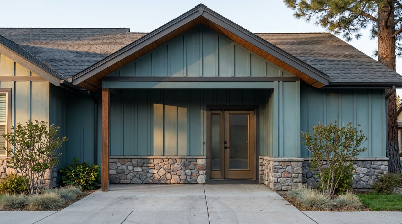
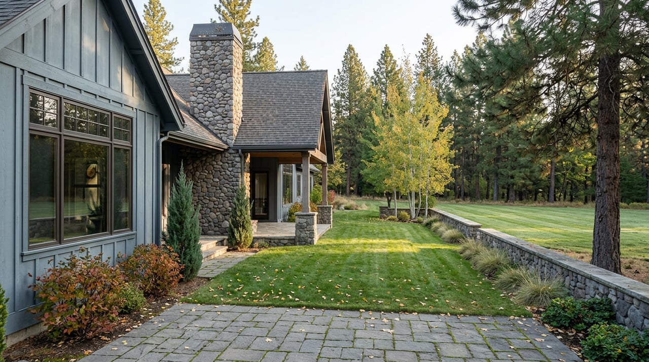
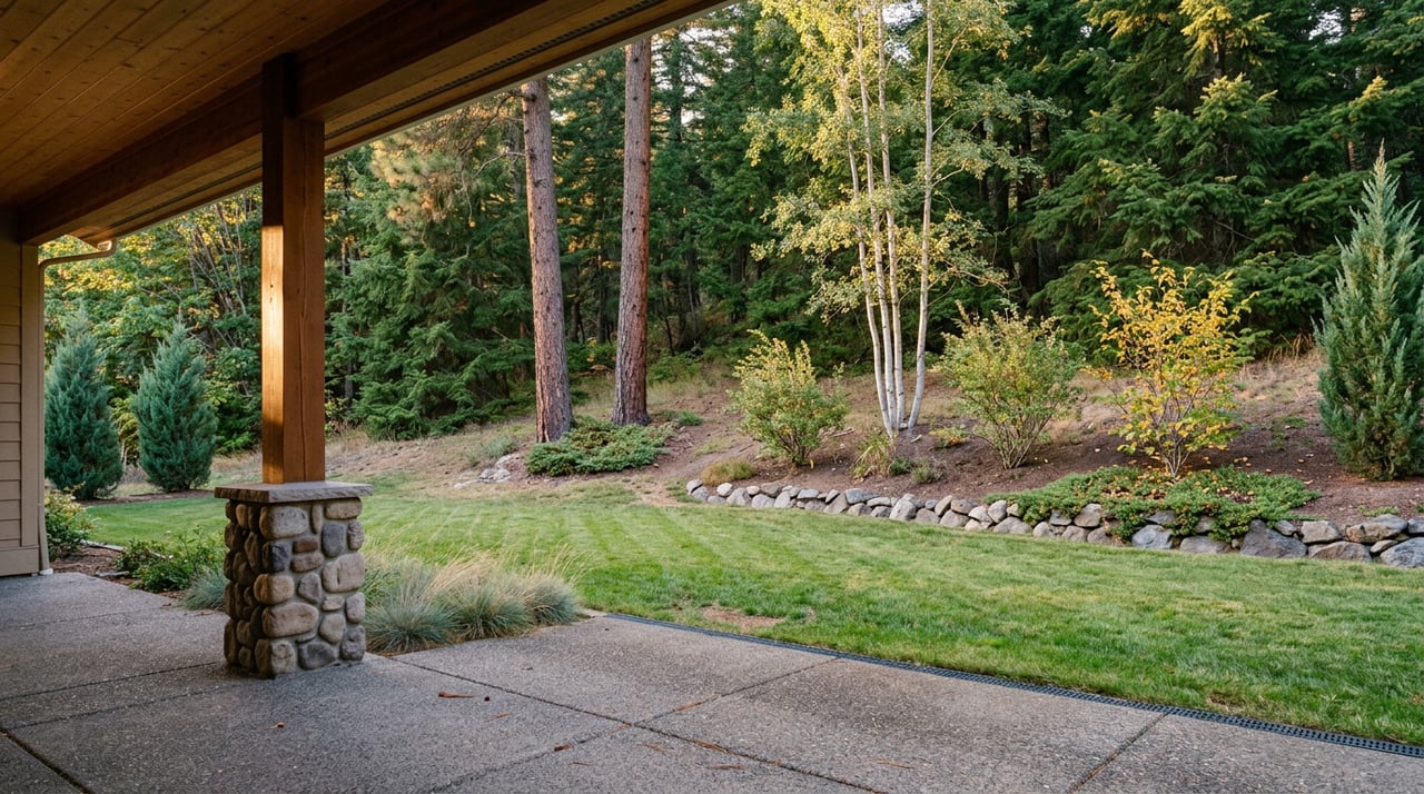
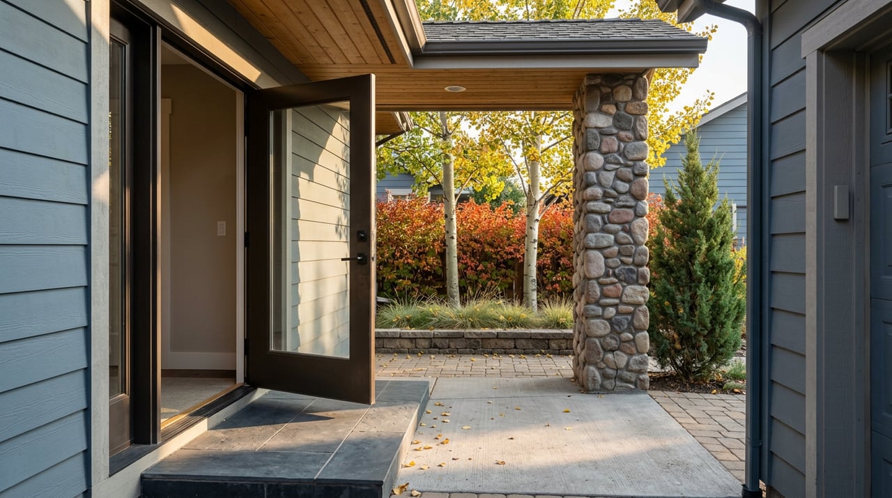
For anyone in Canyon River's Phase 8 townhomes, that's a fitting way to spend a fall Saturday. No yard to mow before you can leave, no mower to put away when you get back. Just a short walk to a trail that still delivers the view, and a taproom at the other end of it.
The View Didn't Close. The Shortcut Did.
The instinct to mourn a closed overlook is understandable. Platforms like that are built to be easy, and easy things get missed when they disappear. But the Milltown Overlook was never the only way to see two rivers meet, and arguably not even the best one. The trails that made this park worth restoring in the first place are still open, still free, and still closer to your front door than you might have realized if Bandmann Flats is where you already live.
Fall in this part of the valley doesn't last long. The cottonwoods along the Bench and Floodplain trails turn fast and drop faster. Worth using the trail network while the color holds, Overlook or no Overlook.
If you're curious about life on Bandmann Flats itself, from the golf-adjacent Anglers Homes to the low-maintenance townhomes in Phase 8 to the custom lots in Phases 9 through 11, Canyon River Properties can walk you through what's currently available and what a season here actually looks like, trail closures and all.